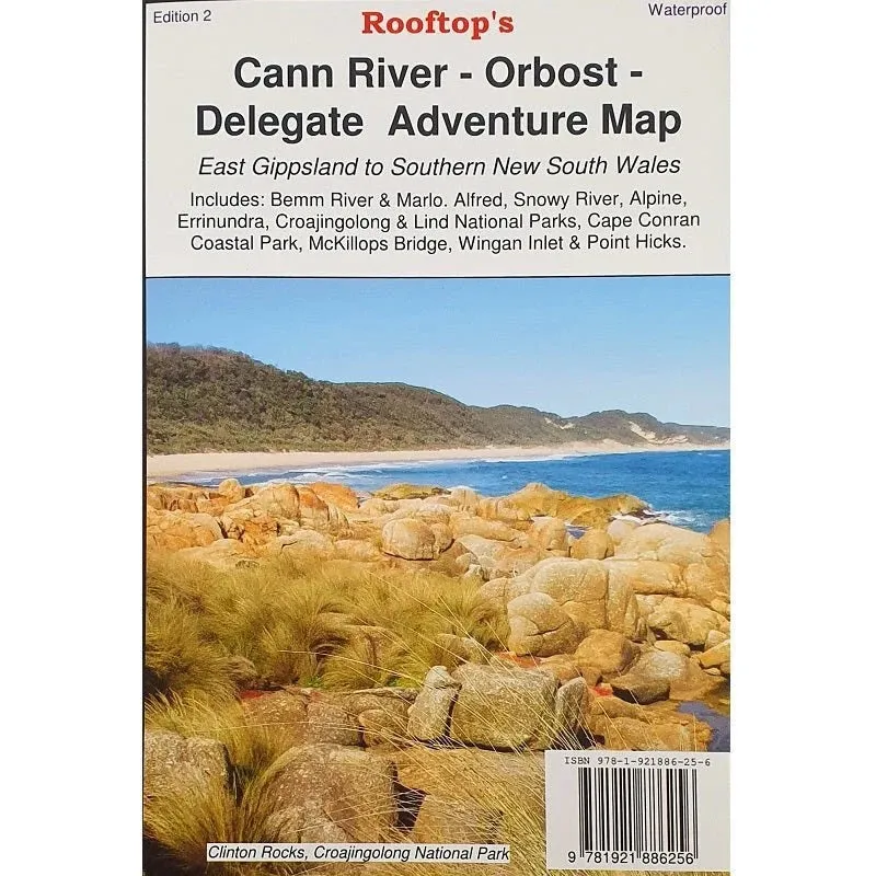
East Gippsland and Southern NSW Adventure Map
Explore the breathtaking landscapes of East Gippsland and southern New South Wales with this comprehensive map. Covering key locations like Bremm River, Marlo, and iconic national parks such as Alfred, Snowy River, and Croajingolong, this map is your gateway to adventure.
From the serene beauty of Cape Conran Coastal Park to landmarks like McKillops Bridge and Point Hicks, this map offers unmatched detail for exploring rugged terrains, coastal areas, and charming towns. Practical inset maps for Sydenham Inlet, Tamboon Inlet, and more make it an indispensable tool for your journey.
Designed for durability, this waterproof map ensures you can navigate confidently, whether you're camping, driving 4WD tracks, or hiking through nature’s wonders.
Features
- Detailed 4WD tracks
- Covers national parks and camping areas
- GPS surveyed roads and tracks
- New inset maps: Sydenham Inlet Access, Tamboon Inlet Access, Huts and Waterfalls Far East Gippsland, Cape Conran Coastal Park & Camping Area
- Printed on waterproof paper
Specifications
- Edition: 2nd
- Publication Date: 01/09/22
- Scale: 1:100,000
- Folded Size: 140mm x 250mm x 4mm
- Flat Size: 700mm x 1000mm
- Weight: 0.09kgs


