Dartmouth Dam to Mt Kosciuszko Map by Rooftop Maps
Experience the breathtaking landscapes of Victoria and New South Wales with the Dartmouth Dam to Mt Kosciuszko Map by Rooftop Maps. Covering a wide range of natural wonders, this map is perfect for adventurers exploring the heart of Alpine and Kosciuszko National Parks.
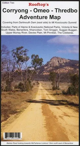
This comprehensive map spans from Dartmouth Dam to the summit of Mt Kosciuszko, encompassing iconic locations such as Benambra, Khancoban, Tom Groggin, Suggan Buggan, Upper Murray River, Davies Plain, Mt Pinnabar, and the Cobberas. With detailed mapping and precise GPS-verified tracks, this is an essential tool for hiking, 4WD exploration, and camping.
Features
- Covers key areas in Alpine and Kosciuszko National Parks
- Highlights Dartmouth Dam, Mt Kosciuszko Summit, and other iconic locations
- Includes tracks for hiking, 4WD, and off-road adventures
- Field-surveyed roads and trails for accuracy
- Durable waterproof paper for all-weather use
Specifications
- Regions Covered: Dartmouth Dam to Mt Kosciuszko Summit
- Key Locations: Benambra, Khancoban, Tom Groggin, Suggan Buggan, Upper Murray River, Davies Plain, Mt Pinnabar, Cobberas
- Material: Waterproof paper
- Scale: Precise scale suitable for detailed navigation
Trusted by outdoor enthusiasts, Rooftop Maps deliver the highest quality maps to ensure your adventures are unforgettable. From scenic hikes to rugged 4WD expeditions, this map is your gateway to discovering the natural beauty of Victoria and New South Wales.
")


")
